VAL COMELICO · DOLOMITES UNESCO
The High Pastures Trail
Seven days on foot in the wild heart of Comelico. One hundred kilometers between mountain huts, panoramic ridges and dream refuges — away from the crowds, inside the most authentic Dolomites.
- Free booking · Confirmation within 24 hours
7Stages
100 km
of walking
+ 5,225 m
Elevation gain
2,600 m
Maximum altitude
The Way
A seven-day ring in the truest Comelico
The Cammino degli Alti Pascoli is a circular trek that starts and returns to Padola, crossing the wildest side of the Sesto and Comelico Dolomites. It is not a walk in the park: it is 100 km and over 5,000 meters of elevation gain that you gain one step at a time, among silent mountain pastures, summit crosses and refuges where you can stop and breathe.
Pastures & alpine pastures
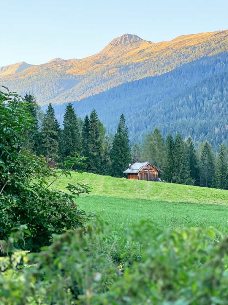
The thread that binds the whole way. You cross the mountain huts of
Coltrondo, Nemes, Melin, Antola and Dignas:
living mountain pastures, where the only noise is the bell of the cows and the wind on the tall grass.
Ridges & Peaks
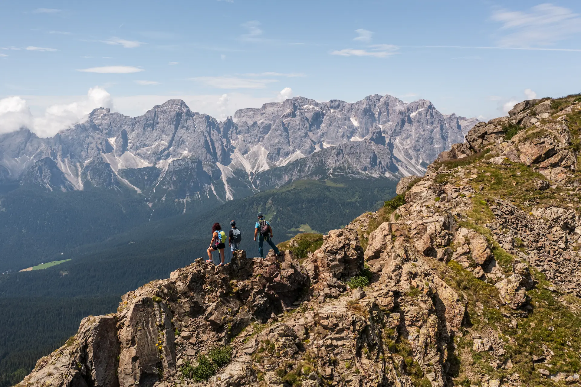
For those looking for the breath of high altitude: the summit of Quaternà (2,503 m), Palombino (2,600 m), Van Comun (2,580 m) and one of the most beautiful ridges in all of Comelico.

Refuges & Villages
Every evening a shelter that is already a memory: the Berti, Rinfreddo and De Doo refuges, and the timeless villages of Val Visdende, up to the Troi delle Tradizioni e dei Mestieri.
The journey, day by day
The seven stages of the journey
From Padola to Padola, closing the loop. Each stage has its own soul — and almost all of them are a variant for those who want to raise the bar.
- F / T — Easy / Touristy
- E - Hiking
- EE/EEA — Experts (with equipment)
1
Stage
- 9.8 km
- +760 / -30 m
- ~4 h
It starts from the square of Padola and climbs gently along the Valgrande cycle path, then through the woods to the Lunelli Refuge and the Berti Refuge, at the foot of the imposing Popera group. A first day of running-in, all uphill towards the crags.
Padola → Berti Refuge
F • Easy
2
Stage
- 11 km
- +580 / -660 m
- 4-5 h
↑ EE variant: climb the Croda Sora Colesei (2,369 m) and climb over the Popera fork (2,291 m), face to face with the Croda Rossa di Sesto.
You descend to the Monte Croce Comelico Pass and enter the world of mountain pastures: Malga Coltrondo and Malga Nemes, up to the Rifugio Rinfreddo, a postcard hut overlooking the Dolomites.
Berti Refuge → Rinfreddo Refuge
E • Hiking
3
Stage
- 16.5 km
- +650 / -1,300 m
- 6-7 h
The most exciting stage: you climb to the saddle and then to the top of Quaternà (2,503 m), to descend along one of the most beautiful ridges in the whole Comelico, which accompanies the gaze to the villages of Casamazzagno and Candide.
Rinfreddo Refuge → Casamazzagno / Candide
E • Hiking
4
Stage
- 17 km
- +1,510 / -1,030 m
- ~6 h
↑ Variant EE: conquer the summit of Palombino (2,600 m) and return to the Ferrata del Camoscio — only for experienced and equipped hikers.
Behind the church of Candide you climb towards Cima Vallona and Malga Melin, then to Passo Palombino and along the historic Carnic Crossing to Casera Dignas. The stage with the most elevation gain of the entire ring.
Candide → Malga Dignas
E • Hiking
5
Stage
- 22.5 km
- +700 / -1,060 m
- ~8-9 h
↑ Variant EE: climb to the Val Carnia fork (2,314 m) and Mount Van Comun (2,580 m), among the highest ridges of the route.
The long and scenic road of the Malghe, from Campobon to Malga Antola, until you descend into Val Visdende, one of the most unspoilt corners of the Dolomites. A long but technically easy stage.
Malga Dignas → Val Visdende
T • Tourist
6
Stage
- 12.5 km
- +695 / -165 m
- 4-5 h
You cross the fantastic villages of Val Visdende and climb towards the Forcella Zovo and the Sella dei Pradetti, up to the De Doo Refuge (1,862 m): breathtaking views and a dream refuge waiting for you.
Val Visdende → Rifugio De Doo
T • Tourist
7
Stage
- 14.5 km
- +330 / -950 m
- 4-5 h
The last day, quiet: we descend towards Costa and Cima Vallona, pass through Candide and return to Padola along the Troi delle Tradizioni e dei Mestieri, among the beautiful villages of Comelia. The loop ends where it began.
De Doo Refuge → Padola
T • Tourist
"Arrival at Mount Zovo with breathtaking views and dream refuge."
— FROM THE REPORT OF THE THREE PEAKS MOUNTAIN GUIDES
The path in numbers
What awaits you
A challenging path but within the reach of every trained hiker, with variants for experts and modular stages.
7
STAGES / DAYS
100 km
OVERALL LENGTH
+ 5,225 m
ELEVATION GAIN UPHILL
- 5,195 m
DOWNHILL ELEVATION GAIN
2,600 m
MAXIMUM ALTITUDE (PALOMBINO)
3
REFUGES ON THE ROUTE
5 +
ALPINE PASTURES CROSSED
JUN-SEP
IDEAL SEASON
Technical data taken from the official report of the Alpine Guides. The path is mainly accessible in summer and early autumn; the stages and variants can be adapted to the level and time available to the group.